
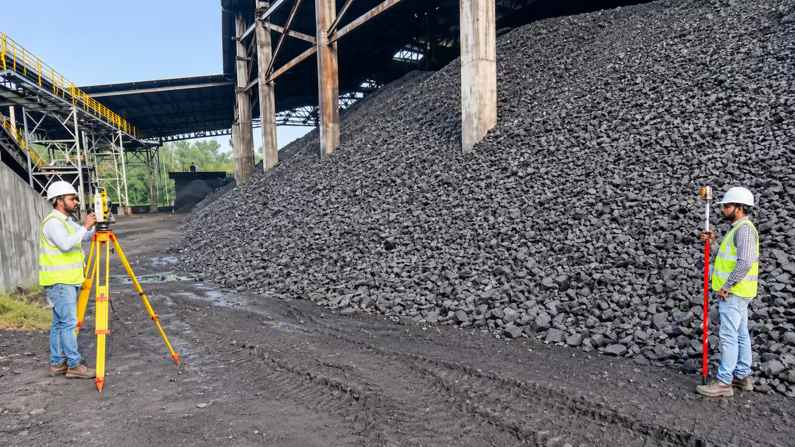
Most construction problems that are expensive to fix begin as a measurement problem: a wall built a little over the line, a floor level that does not meet the road, a plot that is smaller on the ground than on paper. A land survey is the inexpensive step that finds these before concrete is poured.
What a survey checks
- Boundary: where the plot actually starts and ends, and whether the measured area matches your records.
- Levels: how the ground rises and falls, which decides drainage, cut and fill, and the plinth height.
- Existing features: trees, structures, utilities, roads and drains that affect the layout.
- Access and neighbours: how the plot meets the road and adjoining land.
Problems it prevents
- Boundary disputes with neighbours, which are far cheaper to settle before building than after.
- Design built on guessed levels, leading to extra earthwork or poor drainage.
- Approval delays when drawings do not match the ground.
- Building over the plot limit or into a set-back.
When to commission one
Before you finalise the design and before you buy, if you can. A survey ahead of purchase confirms what you are paying for. A survey before design gives the architect real levels. A setting-out survey at the start of construction marks the building lines on the ground.
A short checklist
- Collect your title documents, 7/12 extract or property card and any earlier plan.
- Decide what you need: boundary marking, topographic levels, or both.
- Book the survey before the architect finalises the drawings.
- Ask for a signed plan and keep a copy with your approval file.