Drones have changed how large sites are mapped. Instead of walking every metre with an instrument, a drone photographs the site from above, and software turns the photographs into a map and a surface model.
Benefits
- Speed and coverage: large or hard-to-walk areas can be captured in a fraction of the field time.
- Safety: fewer people on steep slopes, active haul roads or unstable piles.
- Rich data: orthomosaic maps, contours and surface models from one flight.
- Repeatability: the same site can be flown again to monitor progress.
Limits
- Vegetation and structures can hide the ground, so bare-earth levels may still need ground survey.
- Accuracy depends on ground control points measured on the site.
- Flights need applicable permissions and suitable weather.
- Legal boundaries and precise layout points are marked on the ground by instrument.
Where ground survey is still needed
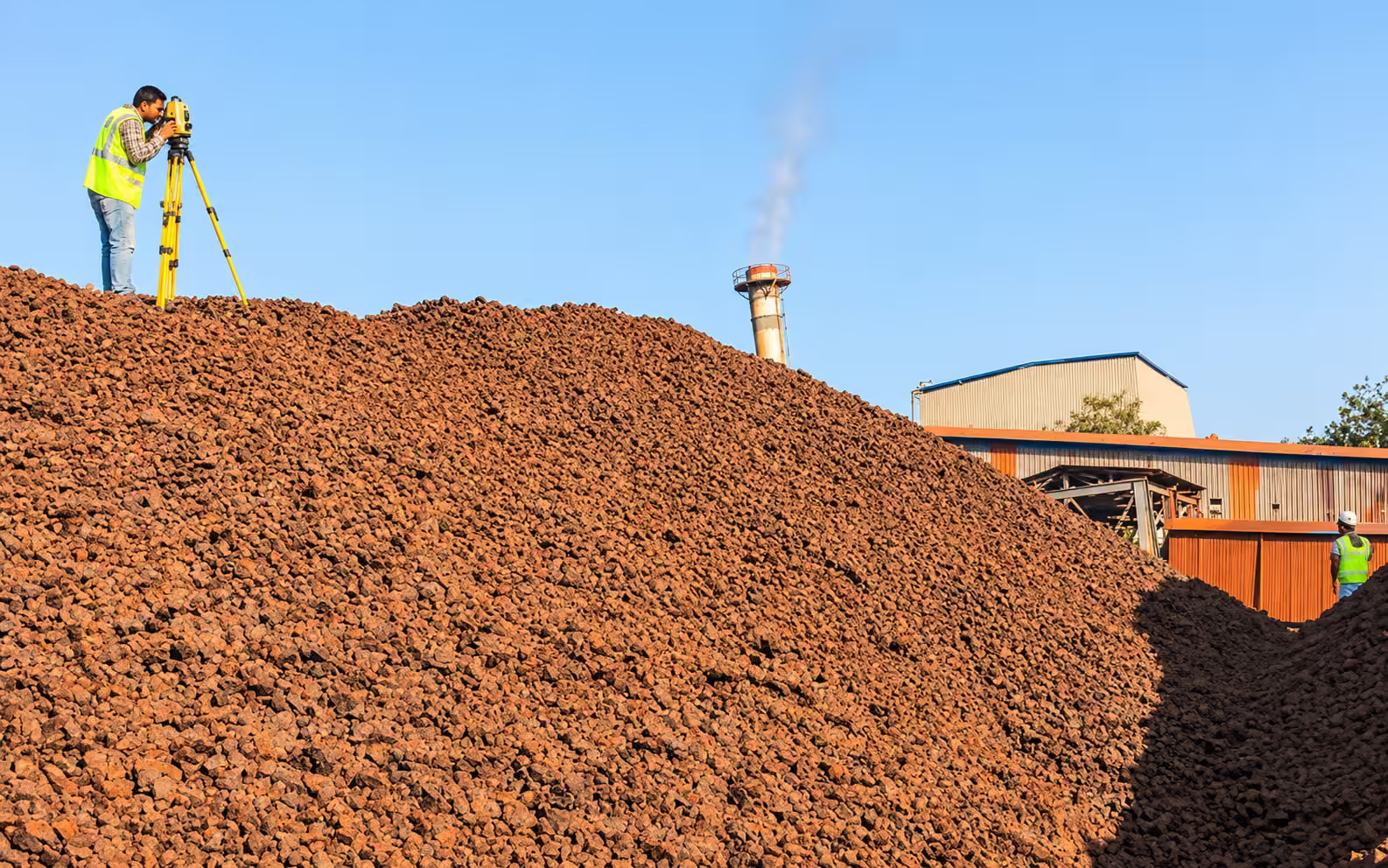
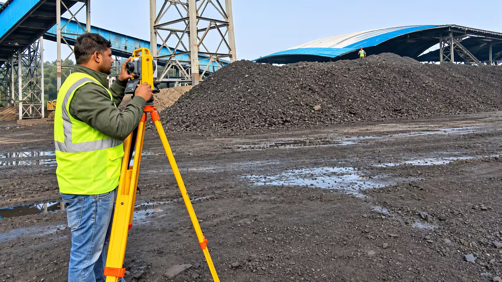
Boundary marking, setting-out of foundations and control points are measured on the ground with a total station or DGPS. In practice the two methods support each other: control points tie a drone map to the real world.